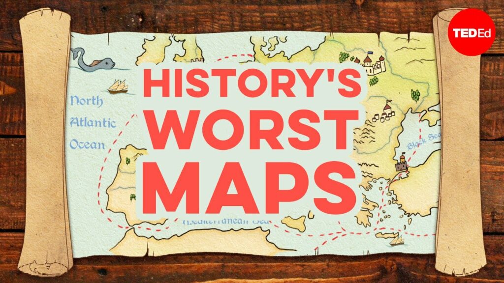
As we all know by now, every world map is wrong. But some world maps are more wrong than others, and the earliest world maps together constitute an entertaining festival of geographical mistakes and misperceptions. Like so many pursuits, mapmaking has utilitarian roots. For millennia, as Kayla Wolf explains in the Ted-Ed lesson above, our ancestors all over the world made “functional maps, showing trade routes, settlements, topography, water sources, the shapes of coastlines, or written directions.” But some also made “what are known as cosmographies, illustrating the Earth and its position in the cosmos, often including constellations, gods, and mythic locations.”
Creators of early world maps tended to mix their functionality with their cosmography. Commissioned in Eurasia and North Africa from the Middle Ages into the seventeenth century, their mappae mundi were “meant to depict the world’s geography, but not necessarily to be useful for navigation. And given their maker’s incomplete knowledge of the world they were really hypotheses — some of which have been glaringly disproven.”
Take, for example, the Spanish maps that for more than a century “depicted the ‘Island of California’ detached from the rest of the continent” (one example of which still hangs today in the New York Public Library).
Even Gerardus Mercator, the cartographer responsible for the “Mercator projection” still used in world maps today, “speculated that the North Pole prominently featured the ‘Rupes Nigra,’ a giant magnetic rock surrounded by a whirlpool that explained why all compasses point north.” But all knowledge begins as speculation, in geography and cartography as anywhere else. We must also maintain an awareness of what we don’t know, which medieval mapmakers famously did with fantastical beasts: “a tiny copper globe created in the early 1500s,” for example, labels southeast Asia with the famous warning “Here be dragons.” And “as late as 1657, English scholar Peter Heylin lumped Australia together with Utopia.” The land down under is perhaps the “lucky country,” but Utopia is surely pushing it.
Related content:
Japanese Designers May Have Created the Most Accurate Map of Our World: See the AuthaGraph
Based in Seoul, Colin Marshall writes and broadcasts on cities, language, and culture. His projects include the Substack newsletter Books on Cities, the book The Stateless City: a Walk through 21st-Century Los Angeles and the video series The City in Cinema. Follow him on Twitter at @colinmarshall or on Facebook.